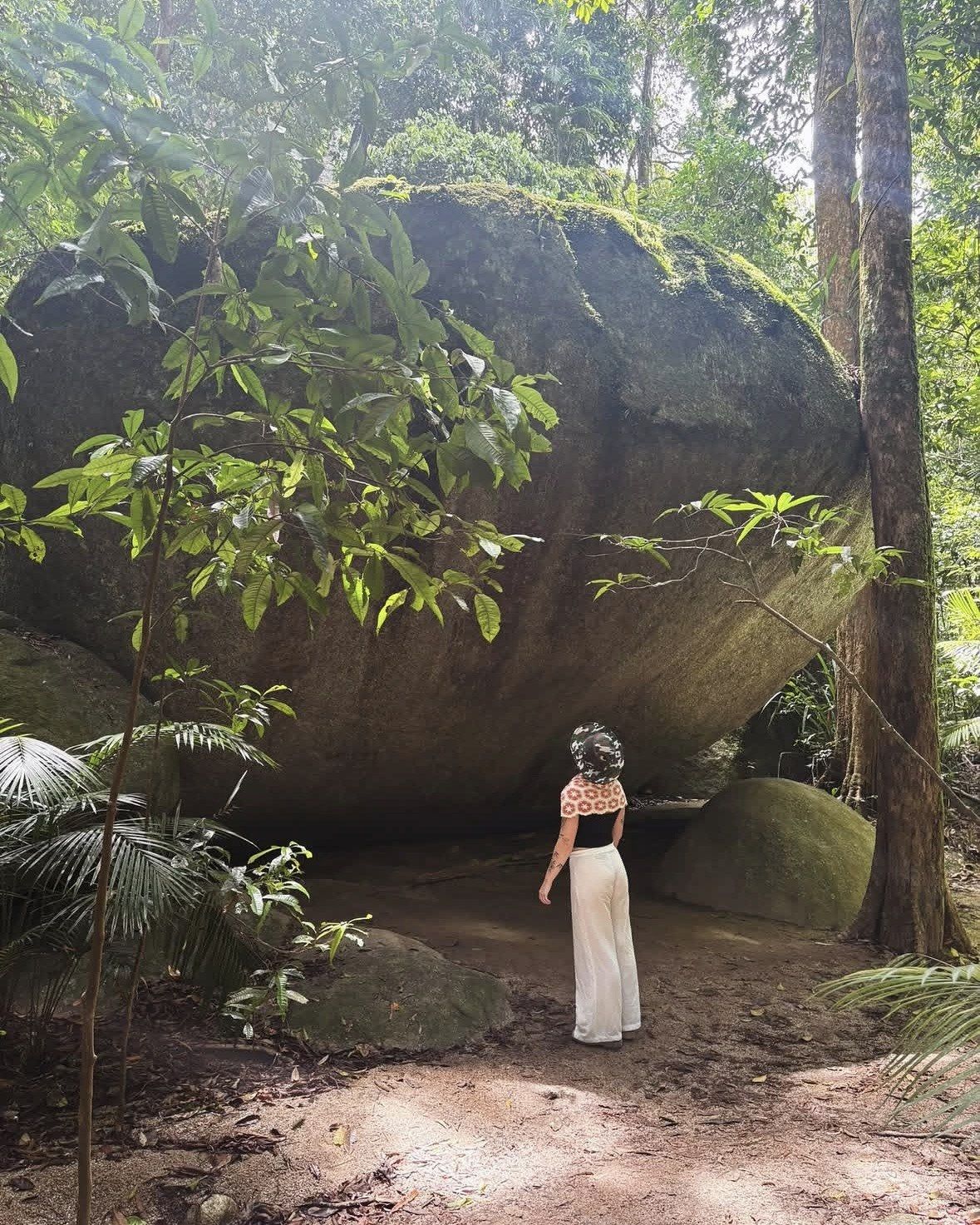
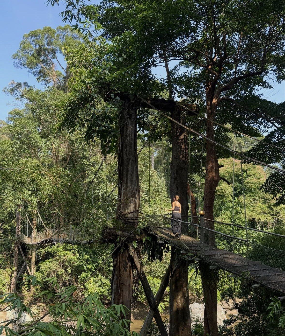
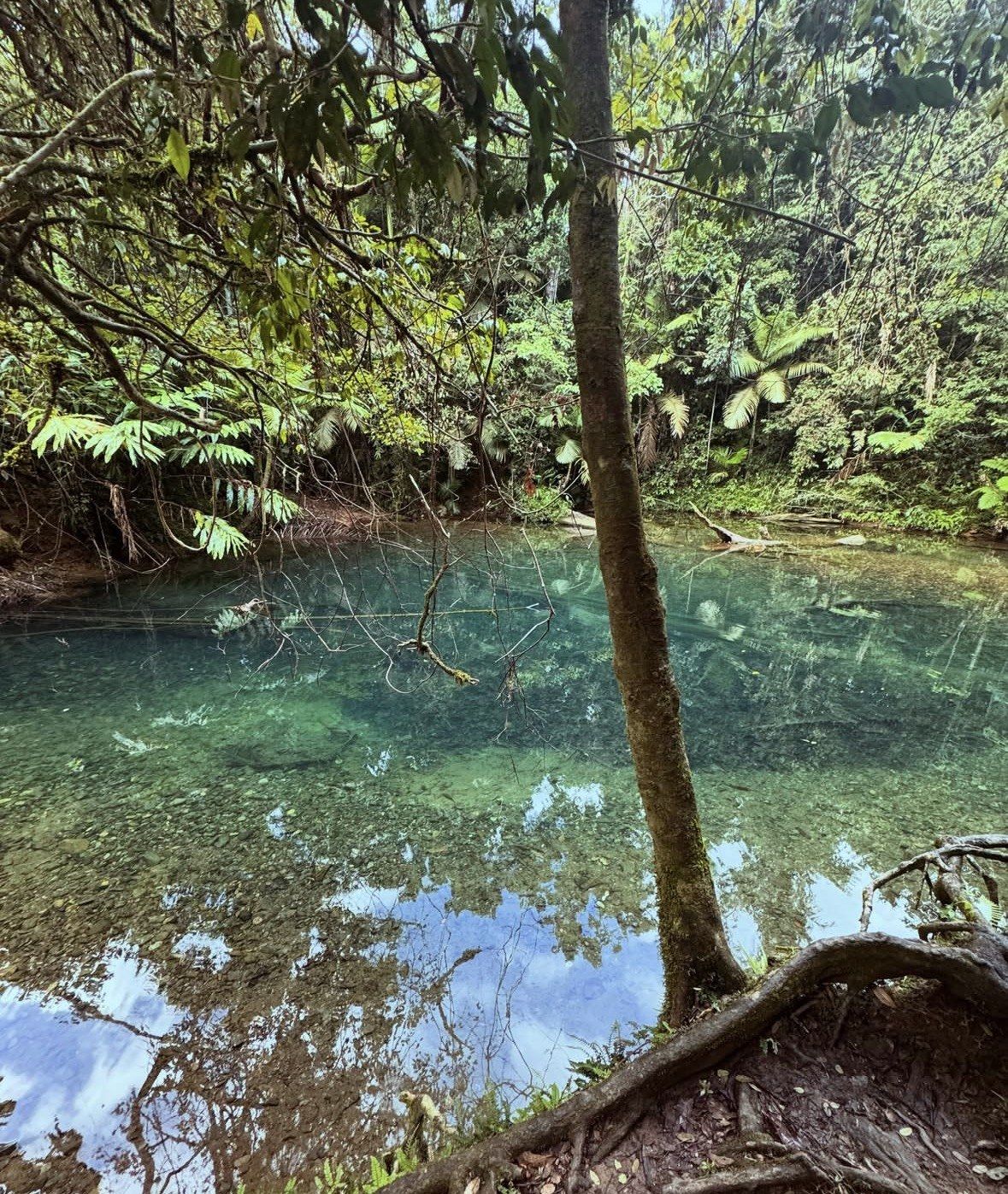
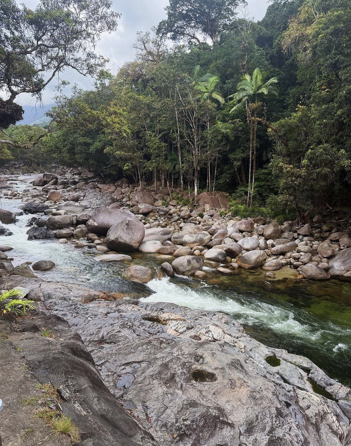
In shortGazettal splits the 73,500 hectares of Daintree National Park (CYPAL) between two blocks with no shared boundary: the Mossman Gorge section to the south, and the Cape Tribulation section to the north at roughly 17,000 hectares. Both blocks fall within the Wet Tropics of Queensland World Heritage Area, a property of 894,420 hectares that has been on the list since 1988. The park stays open around the clock with no gate at the boundary, and camping is the one activity that needs a permit.
73,500 hatotal area of the national park in two sections
17,000 haarea of the Cape Tribulation section of the park
15 sitescampsites at Noah Beach, the park camping area
8:00am to 5:00pmoperating hours of the Mossman Gorge shuttle bus
What Daintree National Park actually is
The gazetted park is 73,500 hectares arranged in two pieces that never meet. One is Mossman Gorge, inland from the town of Mossman and reachable without touching the river. The other is Cape Tribulation, which starts on the north bank of the Daintree River and ends at the Bloomfield River, roughly 17,000 hectares, and that northern piece is what most visitors mean when they say they are going to the Daintree.
Beyond the park boundary the forest simply continues, with nothing on the ground to mark where protection changes. The figure Douglas Shire Council uses for the Daintree Rainforest as a whole is 120,000 hectares, or 1,200 km², which the council describes as the largest remaining stretch of tropical rainforest in Australia, so most of that forest lies outside the gazetted park. Age belongs to the forest rather than to any boundary line: more than 180 million years of continuous growth, according to Tourism Australia, which calls it the world's oldest tropical rainforest; UNESCO's dating of the Wet Tropics forests is more conservative.
A sign, a brochure or a tour title saying "Daintree" can therefore point at three areas of very different size. Work out which one a listing means, the gazetted park, the council's 120,000 hectares or the World Heritage property, before you start fixing the days of your trip.
- Daintree National Park (CYPAL): 73,500 hectares in two separate sections
- Cape Tribulation section: about 17,000 hectares, Daintree River north to the Bloomfield River
- Mossman Gorge section: the southern section, south of the river
- Daintree Rainforest as the council defines it: 120,000 hectares, or 1,200 km²
- Wet Tropics of Queensland World Heritage Area: 894,420 hectares of mostly tropical rainforest
Inside the Wet Tropics World Heritage Area
The park is one part of a property UNESCO inscribed in 1988 and listed on all four natural criteria, among them its exceptional natural beauty and the hundreds of species found nowhere else. That property, the Wet Tropics of Queensland, covers 894,420 hectares of mostly tropical rainforest, according to the World Heritage Centre listing. Daintree National Park sits inside it, which is why the park carries obligations that an ordinary bush reserve does not.
The species lists behind that listing are long. Birds make up the largest group on the Queensland Government's register for the property, at 400 species, alongside 139 mammals, 154 reptiles, 64 amphibians and 94 insects, and 19 of those mammals carry a threatened listing. Among the names on that register are Bennett's and Lumholtz's tree-kangaroos, the musky rat-kangaroo, the platypus, the Daintree River ringtail possum, Boyd's forest dragon, the white-lipped tree frog, the Ulysses butterfly and the Cairns birdwing.
The southern cassowary is the best-known bird on that list. On the Wet Tropics bird list its northern population is Vulnerable and its southern population Endangered under Queensland's Nature Conservation Act, with both Endangered federally, and a 2014 CSIRO survey estimated up to 4,400 cassowaries across the Wet Tropics region.
Who owns the park and who manages it
Management of the park is shared between two bodies, the Jabalbina Yalanji Aboriginal Corporation and the Queensland Parks and Wildlife Service. No tourism company runs it. The CYPAL tag (Cape York Peninsula Aboriginal Land) in the park's formal name marks it as Aboriginal land.
The Traditional Owners named in that arrangement are the Eastern Kuku Yalanji. Kulki, the place most maps label Cape Tribulation, and Wundu, Thornton Peak, are culturally significant. The handback of 29 September 2021 transferred formal title over 160,213 hectares, Daintree National Park included, and it was the first time any World Heritage-listed parks in Queensland had gone back to First Nations owners. The Eastern Kuku Yalanji are one of at least 17 Traditional Owner groups across the wider Wet Tropics.
That history shapes what a visitor sees on the ground. The guided walks at Mossman Gorge are led by Kuku Yalanji guides, and names such as Kulki, Dubuji and Jindalba are the ones used on the park's own signage.
An Aboriginal cultural day
A ten-hour day on Eastern Kuku Yalanji country, taking in the Mossman Gorge section on a guided rainforest walk, an Aboriginal coastal adventure, an art class and a bush-flavour lunch at the Mayi Café, with stories from an experienced driver-guide along the way.
★ 4.9/5 · 16 reviews
Opening hours, entry and the one permit you need
The boundary has no gate. The park stays open around the clock with no set opening hours, and inside the Cape Tribulation section camping is the one activity that needs a permit.
That camping permit is specific. Noah Beach is the one camping area in the Cape Tribulation section, with 15 numbered sites that must be booked and paid for before arrival, and stays are capped at 7 consecutive nights. Tents, camper trailers and small campervans fit; caravans, buses and high campervans do not, since the maximum vehicle height is 3.20 m. Open fires and generators are not allowed, and there is no mobile coverage at the site. The permit is also unavailable for a long stretch of the year, because the site shuts through the wet from the Friday falling immediately before Christmas Day until Good Friday.
What shapes a visit is distance and one river. No bridge spans the Daintree, so every vehicle entering the Cape Tribulation section goes over on the cable ferry, which works without a break from 5am to midnight, Christmas Day included. Capacity sets the pace: roughly 15 minutes per cycle once loading and unloading are counted, with about 27 standard vehicles on board each trip. In peak season traffic banks up along Cape Tribulation Road, and from 9am until 4:30pm the right-hand lane is held for locals and some commercial vehicles. From Cairns the ferry is around two hours away, from Port Douglas roughly 45 minutes, and it is about another 45 minutes from the north bank to Cape Tribulation.
Mossman Gorge, the southern section, needs no crossing at all: about 20 minutes from Port Douglas and 75 minutes from Cairns. Cars stop at the Cultural Centre and a shuttle covers the last stretch, leaving at 15-minute intervals between 8:00am and 5:00pm on every day but Christmas Day, with 4:30pm the final run back out of the gorge. Walking that stretch is not an option, since no footpath or legal route links the car park to the gorge. Several full-day tours on this site include National Park fees and the river ferry crossing; hours and access can change, so check conditions on the day.
What you are allowed to do inside, and what the rules protect
Walking is the main thing the park is set up for, and the signature walks are short. In the Cape Tribulation section the four named boardwalks measure 1.2 km for the Dubuji Grade 1 circuit at about 45 minutes, 600 m return and roughly 10 minutes for Kulki out to its ocean viewing platform, 650 m return for Jindalba at Cow Bay and 1.2 km for Madja, each of those last two taking around 45 minutes. The southern section has three unguided tracks: Baral Marrjanga at 660 m, the Rex Creek bridge track at 1.4 km and the Grade 3 Rainforest Circuit at 3.4 km. Two Grade 4 routes sit well above all of that, Mount Sorrow Ridge Trail climbing to a 680 m lookout over 7 km return and about 6 hours, and Manjal Jimalji at 10.6 km return and roughly 8 hours. Parks puts a timetable on Mount Sorrow: be walking before 10am, be away from the lookout by 2pm, and take seriously the official warning that walkers have gone astray on the marked route. Access to individual boardwalks is not fixed either, and the regional visitor guide has listed Kulki shut for upgrade work at a time when Dubuji, Jindalba and Madja were all open.
Fishing is permitted in the tidal creeks of the Cape Tribulation section, Cooper Creek excepted, and not in the Mossman River or any non-tidal creek. Dogs stay out of most of the park north of the Daintree River, with some areas at Cape Tribulation and Cow Bay the exception. The restrictions protect wildlife, including endangered species that use the same ground you are walking on.
Water is where the rules are firmest. Estuarine crocodiles are resident in the Daintree River and in the creeks along the coast, part of a range the Queensland Government maps from Gladstone to Cape York Peninsula taking in any waterway and the sea itself, and an animal can hold under the surface for hours without showing. The state's Be Crocwise rules come down to two instructions: stay out of the water, and keep a 5 metre margin from the edge. Douglas Shire Council adds that the absence of a warning sign is no clearance to swim anywhere crocodiles may live, that breeding from September to April is when activity is highest, and that floodwater moves animals into country they would not normally use. Coastal water inside the park carries a jellyfish risk that Parks describes as possible in any month and more frequent through the warmer ones, while Surf Life Saving Queensland dates the marine stinger season from November to May and advises a full-body stinger suit for anyone going into the ocean. In the park's southern section the official line on the Mossman River runs against swimming: the water is unpredictable, nobody supervises it, and flash flooding can arrive while the gorge itself is dry.
Cassowaries use the roadsides, so Parks asks drivers to slow down in cassowary habitat and watch for adults with chicks. The official encounter rules are plain: keep away from adults and from chicks, never put yourself between a chick and the male guarding it, never offer food, and keep driving rather than stopping for a bird on the road.
| Walk | Length | Time | Grade or type |
|---|
| Dubuji, Cape Tribulation | 1.2 km circuit | 45 min | Grade 1 |
|---|
| Kulki, Cape Tribulation | 600 m return | 10 min | Boardwalk |
|---|
| Madja (Marrdja) | 1.2 km | 45 min | Boardwalk |
|---|
| Jindalba, Cow Bay | 650 m return | 45 min | Boardwalk |
|---|
| Baral Marrjanga, Mossman Gorge | 660 m | 30 min | Grade 1 |
|---|
| Rex Creek bridge track, Mossman Gorge | 1.4 km | 1 hr | Walking track |
|---|
| Rainforest Circuit, Mossman Gorge | 3.4 km | 2 hr | Grade 3 |
|---|
| Mount Sorrow Ridge Trail | 7 km return | 6 hr | Grade 4 |
|---|
| Manjal Jimalji | 10.6 km return | 8 hr | Grade 4 |
|---|
What a guided day buys when access is already open
The park has no gate, so what a guided day buys is navigation across two park sections and a river with a single crossing, timing that puts you on the boardwalks at the right end of the day, and someone who can tell a Boyd's forest dragon from a stick. The full days below include National Park fees and the river ferry crossing, so the ferry ticket and the park fees are handled for you.
The most-reviewed full day here is the small-group Daintree Rainforest and Mossman Gorge trip out of Port Douglas: 9 hours, from A$270, 4.9 ★ (2,567 reviews). It takes in both park sections and covers National Park fees and the ferry crossing, an air-conditioned vehicle, a Daintree River wildlife cruise, entry to the Noah Valley rainforest retreat north of the river, live commentary from the driver-guide through the day, morning tea with locally grown Daintree tea, and lunch prepared to order at a rainforest restaurant. The vehicle carries umbrellas, insect repellent and filtered water. Daintree ice cream sits outside the price as an optional extra, and a full refund applies if you cancel at least 24 hours before departure.
Travellers whose reason for coming is Eastern Kuku Yalanji culture rather than a run of viewpoints have the Small Group Daintree Rainforest and Aboriginal Coastal Adventure: 10 hours, from A$402, 4.9 ★ (16 reviews), built around a guided rainforest walk in the Mossman Gorge section, an Aboriginal coastal adventure, an Aboriginal art class, a driver-guide sharing stories and culture, and a bush-flavour lunch at the Mayi Café. Pickups do not cover Machans Beach, Holloways Beach or Yorkeys Knob.
For the walks themselves, lengths, grades and timings for every track in both park sections are set out on the walks page of this site, including which ones suit an hour and which need a whole morning.
Questions people ask
Do I need to book anything to enter Daintree National Park?
No. The park stays open around the clock and there is no gate to pass through. The one thing that must be booked and paid for in advance is a camping site at Noah Beach in the Cape Tribulation section. On the full-day tours listed here, National Park fees and the river ferry crossing are already covered by the tour price.
Can I see the national park without crossing the Daintree River?
Yes. Mossman Gorge, the park's southern section, sits on the Port Douglas side of the water: around 20 minutes out of Port Douglas, 75 minutes from Cairns, and no ferry in the equation. Getting into the gorge itself means the Cultural Centre shuttle, which leaves at 15-minute intervals from 8:00am to 5:00pm on every day apart from Christmas Day. Guided by Kuku Yalanji hosts, the Ngadiku Dreamtime Walk takes about 1.5 hours and leaves five times a day, at 10am, 11am, 12pm, 1pm and 2pm; a smoking ceremony, an ochre demonstration, bush tea and damper are part of it.
Is a 4WD needed in the park?
Not for the main route. Between the ferry and Cape Tribulation the surface is sealed the whole way and small cars handle it, with steep, winding sections across the Alexandra and Noah Ranges. North of Cape Tribulation that changes: the Cape Tribulation to Bloomfield Road heading for Wujal Wujal and Cooktown has creek crossings, takes 4WD only and is never suitable for towing, and the same restriction applies to the inland CREB Track.
Is there mobile coverage inside the park?
North of the Daintree River coverage comes and goes, and the Noah Beach camping area has none at all, so pull down maps and any booking confirmations while you are still on the south bank. Fuel on the park's road network comes from Daintree Rainforest Village at Diwan, which also runs a supermarket and village store from 7am to 6pm. Population counts give the scale of the settlements, with 147 people at Daintree Village, 309 at Cow Bay and 363 at Wujal Wujal.
Which months are best for the park itself?
Tourism Australia names May to September the high season and the better window for the longer walks, with December to April the wet low season: humid, frequently raining, and strongest for waterfalls. Roughly November to May is the green season, which accounts for 75 to 90 per cent of the yearly rain against a regional average near 3,000 mm. Noah Beach camping closes from the Friday before Christmas Day until Good Friday, so a wet-season trip rules out camping inside the Cape Tribulation section.
Read also